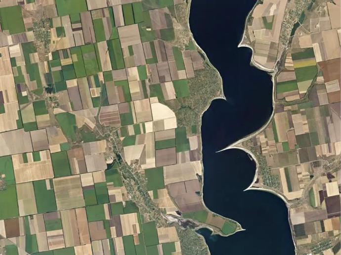
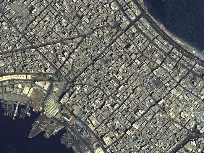
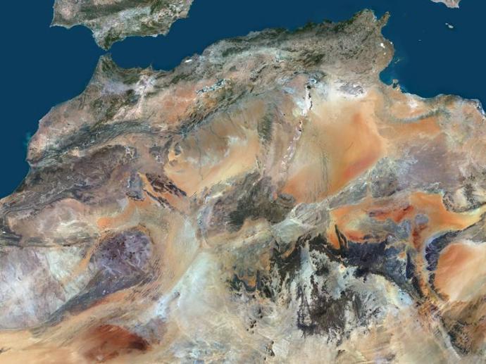
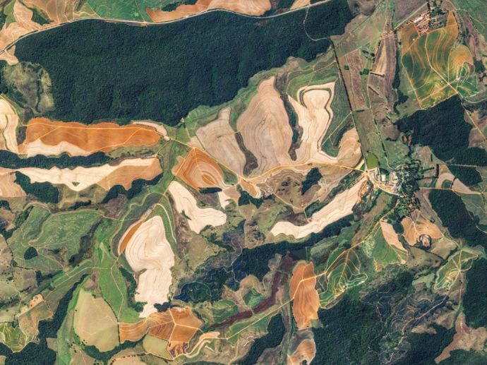
Multispectral Imagery
The best satellite imagery in different spatial, temporal and radiometric resolutions suitable for a huge variety of Earth Observation applications: from Agriculture to Urban apps, and from Forestry to Marine and Maritime sectors.

Pléiades Neo
Starts from 450€
Satellogic - Multispectral
Starts from 300€
Planet Basemaps
Starts from 500€
PlanetScope Archive
Starts from 4500€
PlanetScope Monitoring
Starts from 4500€
SkySat Archive
Starts from 4500€
SkySat Flexible Tasking
Starts from 4500€
OneAtlas Living Library
Starts from 1200€ / year
Pléiades
Starts from 250€
SPOT 6/7
Starts from 90€
Hexagon Pixel Delivery
Starts from 86€
Hexagon Streaming Service
Starts from 645€
21AT Basemaps / LAM
Starts from 1000€
PlanetSAT Basemap
Starts from 350€

PlanetObserver Online Map Services
Starts from 1238€
Data Library
Drone Tasking
KOMPSAT-2
Starts from 100€

KOMPSAT-3
Starts from 200€
KOMPSAT-3A
Starts from 200€
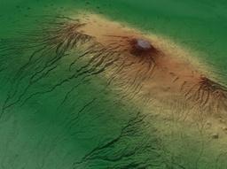
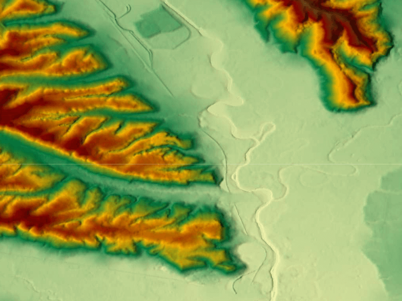
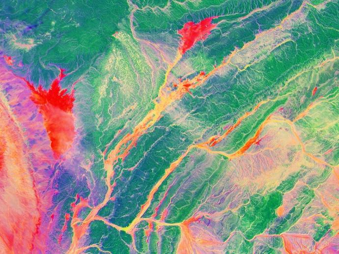
Elevation Datasets
Digital Elevation or Terrain Models at high resolution for hydrological applications, image orthorectification, or just relief mapping.
WorldDEM™ Neo
Starts from 900€
WorldDEM™
Starts from 300€
Elevation 1
Starts from 5500€
Elevation 8
Starts from 8000€

Elevation 30
Starts from 1150€
Lido Surface Data NEXTView
Starts from 1000€
NEXTMAP One™
Starts from 500€
NEXTMap World 10
Starts from 2150€
Hexagon Pixel Delivery
Starts from 86€
PlanetDEM
PlanetObserver
Access trusted 30-meter and 90-meter elevation data based on DTED standards that ensure accurate analysis ideal for civil and military mapping and simulation solutions!
Starts from 350€
PlanetObserver Online Map Services
Starts from 1238€
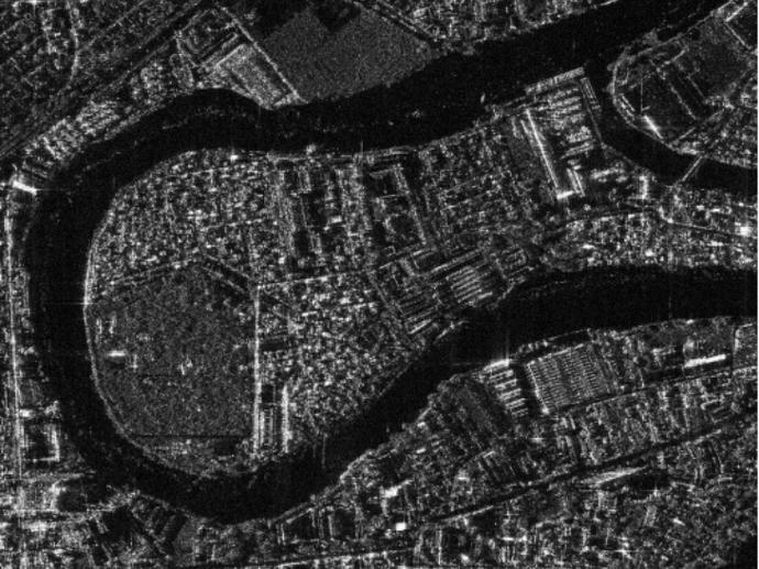
Radar Imagery
Synthetic Aperture Radar datasets ideal for defense applications, displacement monitoring on the Earth's surface, and Digital Elevation Model generation.
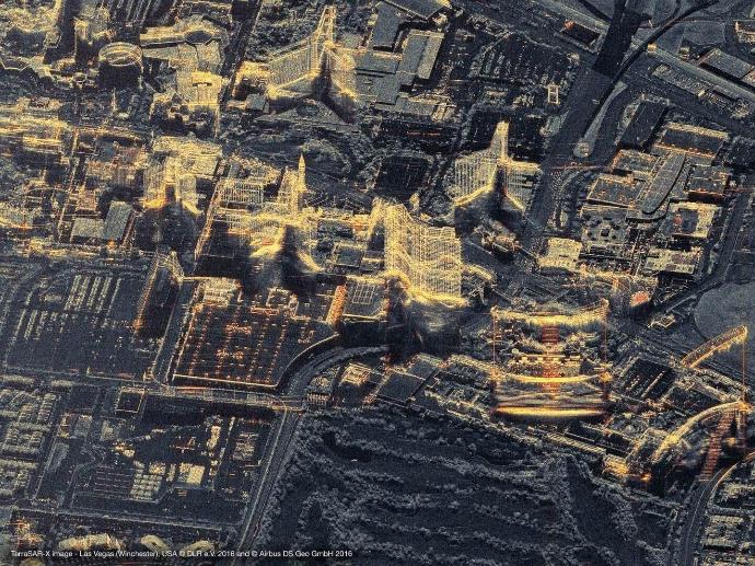
TerraSAR-X
Starts from 875 €
KOMPSAT-5
Starts from 700 €
Hyperspectral Imagery
Satellogic - Hyperspectral
Starts from 450 €
Video & Night Imagery
Full Motion Video
Starts from 2280 €
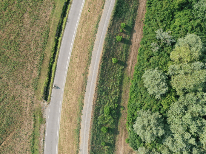
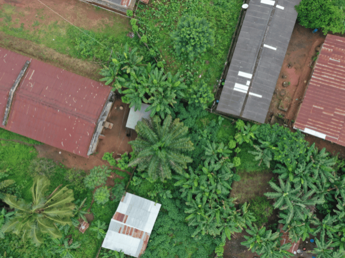
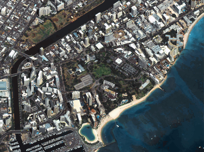
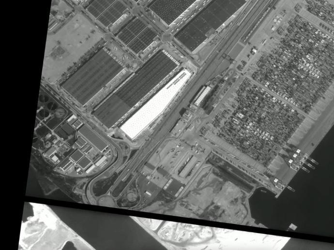
Aerial & Drone Data
Discover the power of ultra-high resolution aerial and drone imagery!
Drone Tasking
Data Library
Hexagon Pixel Delivery
Starts from 86€
Hexagon Streaming Service
Starts from 645€
Weather Data


Global Weather Forecast API
Earth Intelligence Data
Data as a Service
Our Data as a Service offers a variety of high-quality geospatial datasets. With simplified and secured access, you can find the solution you need from raw raster / vector data, to curated thematic information and analytics.