Elevation 8
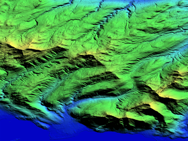
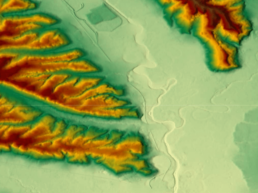
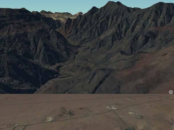
Airbus Elevation 8 simplifies the access and use of elevation data and provides exactly the right model for your project requirements, especially if it involves a large area of interest. It provides highly accurate elevation information, with a vertical accuracy down to 3m at 8m grid spacing anywhere in the world and independent of relief and weather conditions.
Elevation 8 is ideally suited for mapping, hydrology, and exploration of natural resources. Whether planning an infrastructure network, conducting a defence mission in unknown terrains, or analyzing terrain features for oil and gas exploration: accurate terrain height information is critical.
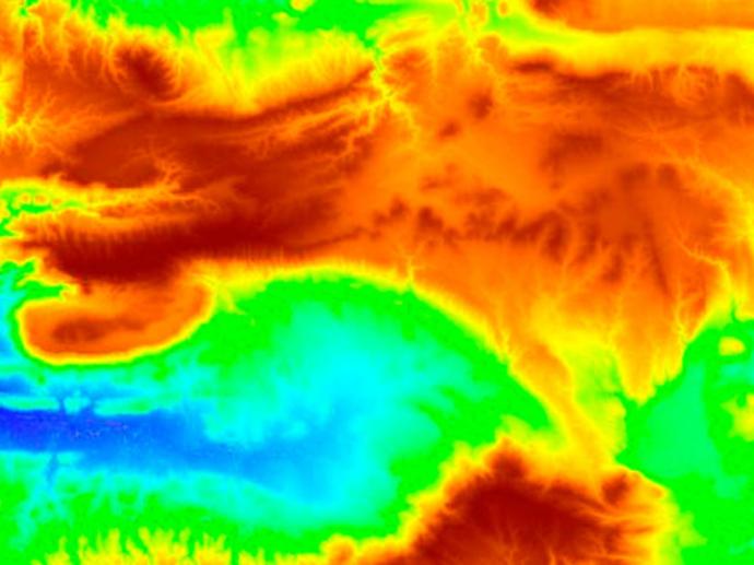
Elevation 8 dataset is derived from SPOT6/7 Stereo or Tristereo optical satellite data with vertical accuracy down to 3m at 8m grid spacing. It is available as a Digital Elevation Model (a model of the ground that includes both ground and above ground features like buildings, vegetation, etc). The Digital Terrain Model (representing the bare Earth elevation, vegetation, and man-made objects removed) is also available.
The satellite’s optimized combination of wide-area coverage and high-resolution image acquisition supports the rapid collection of imagery and delivery of products. The models are tailored exactly to your Area of Interest (AOI) starting at a minimum of just 1,000km².
Key features
Up to 3m vertical accuracy at 8m posting
Available anywhere in the world
Based on SPOT 6 and SPOT 7 stereo and tri stereo optical satellite data
Digital Surface Models (DSM) and Digital Terrain Models (DTM) options available
Suitable for large areas
Suitable to HRE80 (military standard (NGA) specifications
Key applications

Infrastructure
Line-of-sight analysis
Modeling water flow (e.g. for flood prevention)
Elevation model at local level
Line-of-sight analysis
Modeling water flow (e.g. for flood prevention)
Elevation model at local level

Telecom
Line-of-sight analysis
Microwave link planning
Locations and spacing modelling of tower network
Line-of-sight analysis
Microwave link planning
Locations and spacing modelling of tower network

Forestry
Extracting geomorphology
Predicting potential landslides
Estimating number of trees per unit area
Extracting geomorphology
Predicting potential landslides
Estimating number of trees per unit area
FAQs
Elevation 8 is based on stereo and tri-stereo pairs of SPOT 6 and SPOT 7 satellite imagery.
Package includes DSM and stereo / tri-stereo pair over the requested area of interest.
A minimum area size of 1000km² is required.
The EULA of Elevation 8 is under the authority of Airbus Defence & Space, and falls under the SPOT for ELEVATION EULA.