Collections

GEO Premium
GEO University
A huge variety of courses, tools and data to start learning and advance your skills in Earth Observation, GIS and Satellite Remote Sensing. Get instant access with more than 8000 minutes of learning content.
Starts from 29€ / month
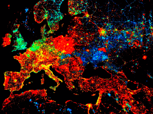
Earth Observation
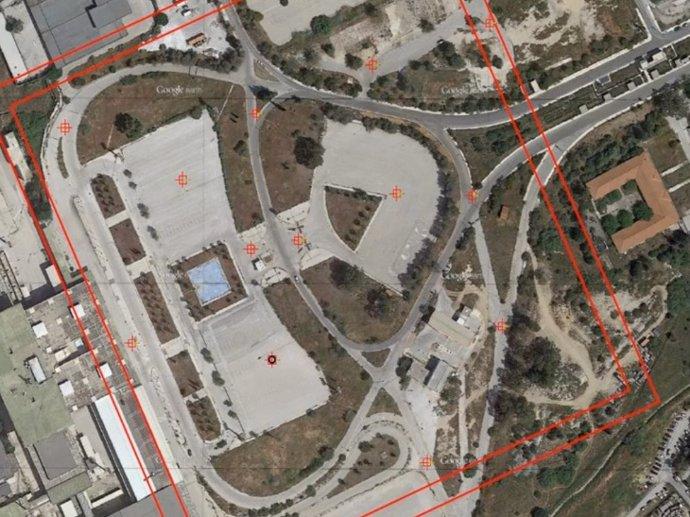
Introduction to UAV mapping
GEO University
Enter the world of aerial mapping and surveying, and learn how to select the right UAV for your needs, execute your flights according to the spatial products you want to generate, and many more.
Enter the world of aerial mapping and surveying, and learn how to select the right UAV for your needs, execute your flights according to the spatial products you want to generate, and many more.
20€
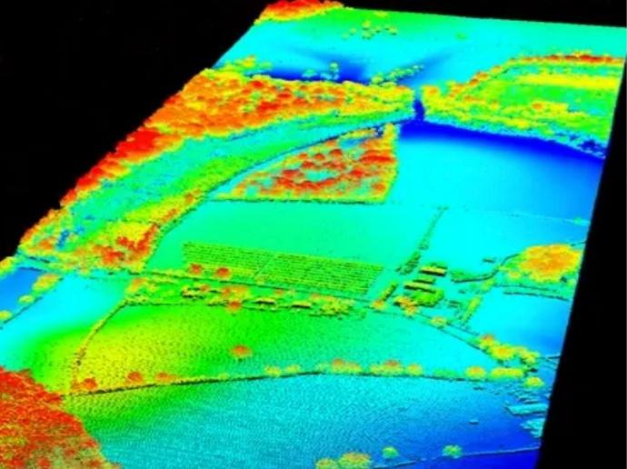
Overview of LiDAR; system variations, data interpretation & applications
GEO University
Gain an in-depth understanding of LiDAR concepts, systems and algorithms with this step-to-step course, starting from scratch.
Gain an in-depth understanding of LiDAR concepts, systems and algorithms with this step-to-step course, starting from scratch.
30€
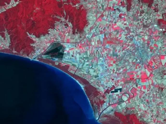
Learn Hyperspectral Remote Sensing from the Scratch
GEO University
Understand primary concepts, methods and algorithms of imaging spectroscopy with this self-paced online course.
Understand primary concepts, methods and algorithms of imaging spectroscopy with this self-paced online course.
20€
GIS
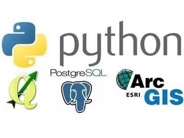
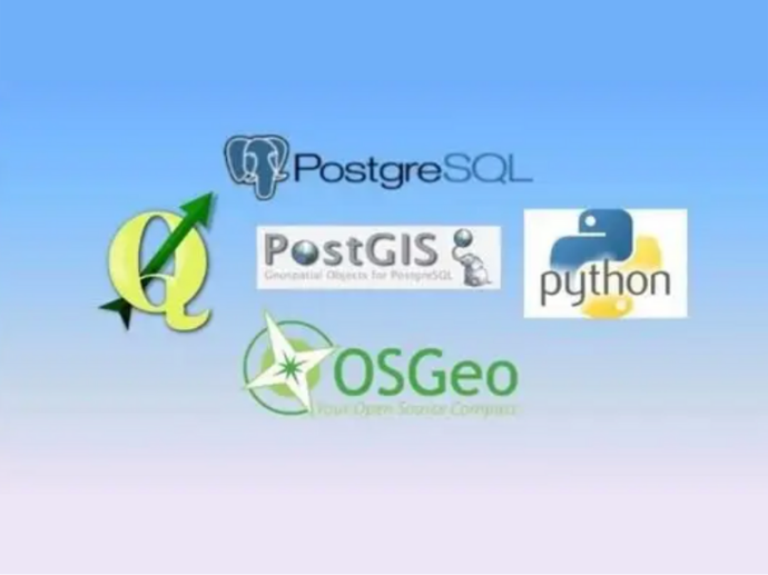
FOSS4g Stack: Python Geospatial
GEO University
Get to know all kinds of different GIS software products, and learn how to tie them all together with Python.
Get to know all kinds of different GIS software products, and learn how to tie them all together with Python.
25€
FOSS4g Stack: Spatial SQL with PostgreSQL / PostGIS
GEO University
Learn how to take advantage of Postgres 11, the most popular open source database, and Spatial SQL, a language for geographers, GIS and remote sensing experts!
Learn how to take advantage of Postgres 11, the most popular open source database, and Spatial SQL, a language for geographers, GIS and remote sensing experts!
25€
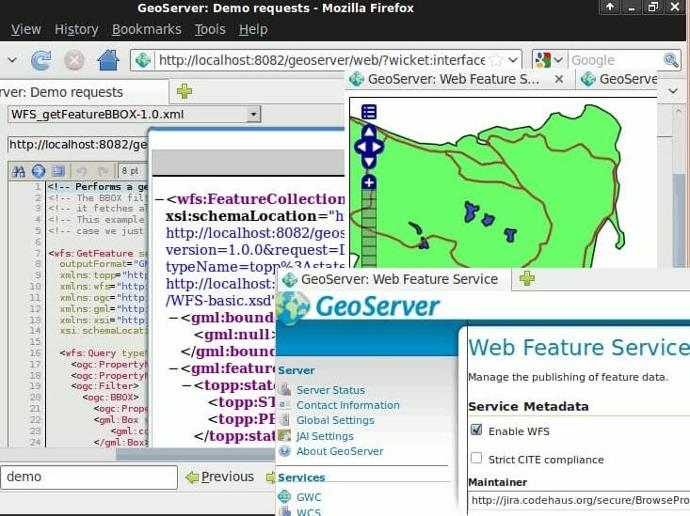
FOSS4g Stack: Internet Mapping with Geoserver
GEO University
Become an expert on Geoserver and build web applications for your clients.
Become an expert on Geoserver and build web applications for your clients.
25€
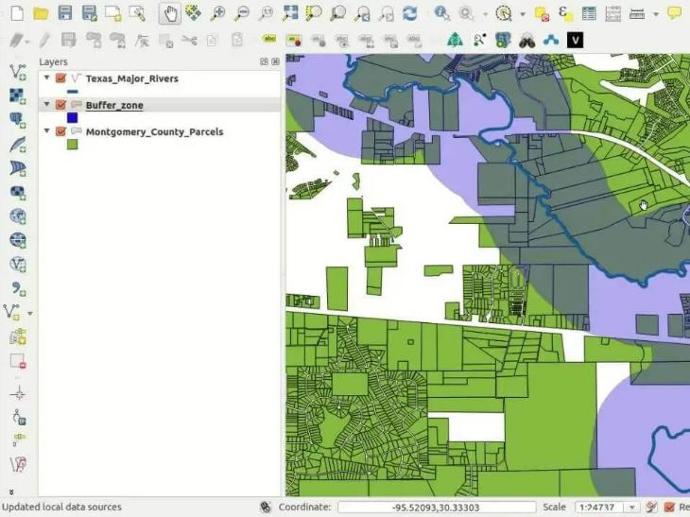
FOSS4g Stack: Enterprise GIS w/ PostgreSQL / PostGIS
GEO University
Learn how to create an enterprise GIS with PostgreSQL/PostGIS, QGIS and Python. Manage users, and support multiple GIS software clients!
Learn how to create an enterprise GIS with PostgreSQL/PostGIS, QGIS and Python. Manage users, and support multiple GIS software clients!
35€
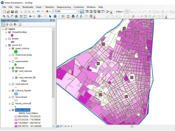
Geospatial Analysis for Urban Applications with GIS and a bit of Python
GEO University
2.5 hour online course showcasing more than enough tools and algorithms to highlight and analyze urban problems.
2.5 hour online course showcasing more than enough tools and algorithms to highlight and analyze urban problems.
30€
Software Tutorials
Google Earth Engine Training For EO Applications
GEO University
Become an Expert on Google Earth Engine. Extend your GIS and Earth Observation processing to a planetary level!
Become an Expert on Google Earth Engine. Extend your GIS and Earth Observation processing to a planetary level!
45€
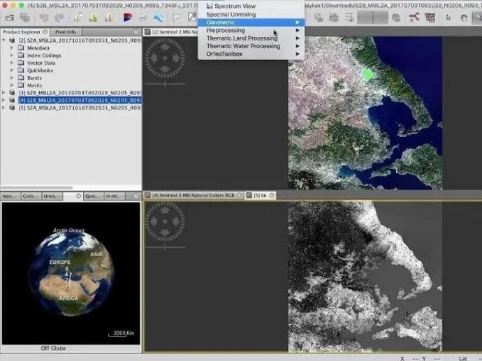
ESA Sentinel Application Platform
GEO University
Become an expert in SNAP with this step-by-step video course.
Become an expert in SNAP with this step-by-step video course.
40€
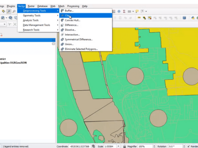
FOSS4g Stack: QGIS 3 Desktop
GEO University
Become an expert in QGIS 3 Desktop through this 7 hours hands-on free course!
Become an expert in QGIS 3 Desktop through this 7 hours hands-on free course!
Free